Overview
SAR Pass is an excellent choice for individuals who want to explore a variety of terrain. Trekkers will have a diverse range of experiences along this trail, which includes forests, meadows, beautiful villages, and snow-covered mountains.
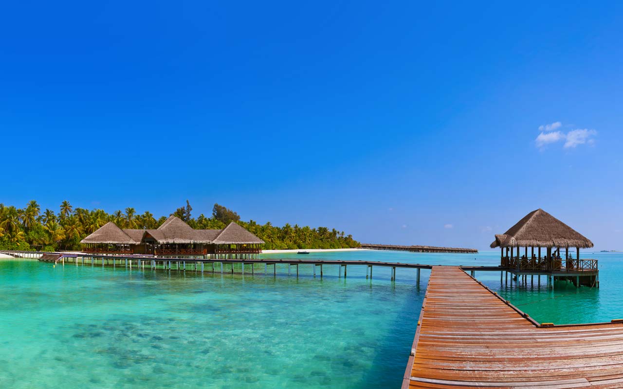
The Sar Pass trek begins in Kasol. The shops are well stocked with both basics and luxury in order to cater to the needs of tourists.
There are numerous accommodation alternatives both budget-friendly and high-end and a variety of cuisines to select from, including Israeli, Continental, Indian, and Chinese.
Itinerary for a Short Trip
Sar pass trek is perfect for first-time hikers. Trek through forests, fields, and small villages on this adventure. The hike begins at Kasol, which is a popular destination for travelers from all over the world.
Day 1: Travel from Kasol to Grahan village
- Altitude ranges from 1,700 m to 2,350 m.
- 10 kilometers is the distance.
- Time required: approximately 4-5 hours
In order to get from Kasol to Grahan, one must take a well-marked track through woodlands, which follows the Grahan Nalah. In addition to being easily navigable, the trail is extensively used by villagers. Because of the gentle gradient, one may cover a significant amount of ground in a short period of time.
It then climbs uphill and becomes rocky as it moves away from the right side of the river. The trail then bridges the nalah and continues along its path. It is possible to be convinced to believe that this is not the correct way, but one must avoid going down the wrong path.
Within a short period of time, the trees are replaced by grass and bushes. As well, one can observe certain fields where brightly colored tarpaulins have been placed. These are impromptu stalls, with sellers selling delicacies such as tea, omelettes, and rhododendron syrup among other things! Rhododendrons (also called as buras in some parts of the world) thrive in forests that receive snowfall.
Their brilliant red blossoms bloom in the spring and are harvested for use in syrup production. It is possible to consume whole rhododendron petals, and the syrup can be blended with water to create a delicious drink (I discovered the benefits of rhododendron on my Har-ki-dun trip, where I happily chewed on a liberal amount of the tangy petals and felt energized immediately).
After a difficult ascent of around one hour, keep an eye out for the settlement of Grahan, which is perched on the crest of a hill. You can spend the night there. A camping field is accessible after passing through the village and is provided for guests staying in guesthouses. Cell phone coverage is available in the town, and there is also a satellite phone for those who like to use it.
Day 2: Graham to Min Thach
- Altitude ranges from 2,350 m to 3,400 m.
- 7 kilometers separate the two points.
- Time required: approximately 4-5 hours
From the Grahan camping area, a trail heads north, gently ascending the mountain side. This walkway is frequently used by villagers in the early morning hours. This is the route that leads to Min Thach.
After a few minutes of trekking, the vista opens up, and a guide may point out Min Thach, Nagaru, and Sar Top, which are located on the mountain to your right. The trail also becomes more difficult to navigate as it descends into the forests. After a while, you’ll find yourself in the middle of a dense forest, with little sunshine filtering through the high canopy. The slope becomes even steeper, and the trail becomes increasingly difficult to follow in certain areas.
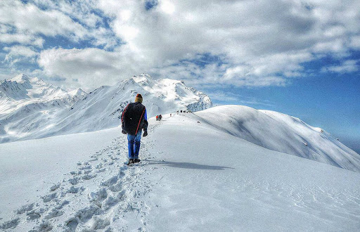
After a few hours of toiling, the forest opens up to reveal a grassy spot on a ridge above the treeline. This is Min Thach (in the local language, “Thach” means meadow, similar to the words “Kanda” or “Bugyal;” it is the place where the locals bring their livestock to graze).
The Chanderkhani and other mountain ranges can be seen stretching beyond the horizon to the north-west. It is along this ridgeline that the campsite of Nagaru is located, which continues to the east and rises up to a cliff covered in snow (a guide can point it out).
Forests can be found to the south-east of the ridge. There is enough open space for a tent to be pitched. A seasonal vendor’s hut may be located here, which sells tea, coffee, and omelets during the warmer months. There is also a water tap nearby that provides drinkable water. You can set up camp here for the night because the ridge will keep you safe from heavy winds. In the event of rain, hail, or snow, a trench should be constructed around the tents to allow for natural drainage of the water that accumulates.
Keeping one day aside to travel the distance between Graham and Min Thach is a good idea. It gives the body enough time to acclimatize and warm up in preparation for the climb ahead. Trekkers with more experience, on the other hand, can start early from Kasol, stop for an early lunch at Grahan, and get to Min Thach by late afternoon.
Day 3: Travel from Min Thach to Nagaru
- Altitude ranges from 3,400 m to 3,800 m.
- 8 kilometers is the distance between two points.
- Time required: 4 to 6 hours
As the crow flies, Nagaru appears to be a short distance away from Min Thach; however, the road does not follow the ridge-line in its whole; instead, it veers up to the south (looking up at the cliffs, towards the right) and then into the woods. It is possible to find snow in this location depending on the weather. It is always best to begin early in the day because the weather is generally more favorable before noon and the snow becomes more slippery later in the day if you wait until later in the day.
After a bit of trekking, one comes to another ridge-line, this one stony and overlooking a grassy meadow in the valley below. The ridge climbs sharply to the left (eastward) until it reaches the cliffs, on top of which Nagaru is perched. Ascending this ridge, the path to Nagaru follows a well-marked path for about a hundred meters, after which the treeline disappears and the path is replaced with patches of grass and plants.